Earthquake Report No.115
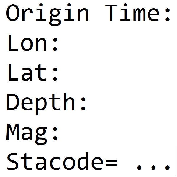
- Origin Time: 2025/08/21 16:37:47
- Epicenter: 23.26°N, 120.58°E 36.3 km SE of Chiayi County Hall
- Focal depth: 10.4 km
- Magnitude (ML): 5.1
Intensity
Dapu 4
Fanlu 4
Taibao City 4
Yizhu 4
Minxiong 3
Alishan 3
Tsengwen 4
Nanxi 4
Baihe 4
Shanhua 4
Xinhua 4
Jiali 3
Yongkang 3
Tainan City 3
Jiaxian 4
Taoyuan 3
Liugui 3
Qishan 3
Luzhu 3
Kaohsiung City 3
Nanzi 2
Shoushan 2
Daliao 2
Chiayi City 3
Caoling 3
Shuilin 3
Sihu 3
Tuku 3
Gukeng 2
Douliu City 2
Mailiao 2
Xiluo 1
Sandimen 2
Jiuru 2
Pingtung City 2
Xinpi 2
Donggang 2
Chunri 1
Shizi 1
Haiduan 2
Chishang 2
Luye 2
Beinan 2
Lidao 2
Donghe 1
Taitung City 1
Chenggong 1
Taimali 1
Changbin 1
Fuli 2
Xibao 1
Erlin 2
Dacheng 2
Changhua City 2
Yuanlin 1
Lukang 1
Yushan 2
Xinyi Township 1
Zhushan 1
Sun Moon Lake 1
Guoxing 1
Aowanda 1
Nantou City 1
Magong City 2
Dongjidao 1
Wufeng 1
Wuqi 1